-
Courses
Courses
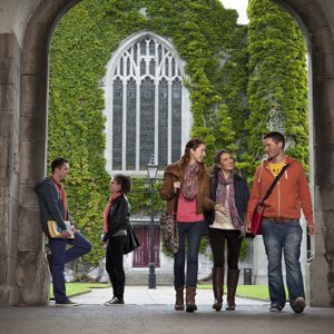
Choosing a course is one of the most important decisions you'll ever make! View our courses and see what our students and lecturers have to say about the courses you are interested in at the links below.
-
University Life
University Life
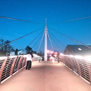
Each year more than 4,000 choose University of Galway as their University of choice. Find out what life at University of Galway is all about here.
-
About University of Galway
About University of Galway
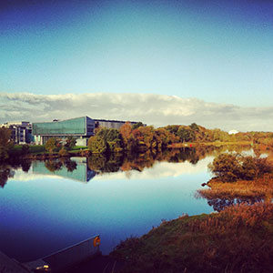
Since 1845, University of Galway has been sharing the highest quality teaching and research with Ireland and the world. Find out what makes our University so special – from our distinguished history to the latest news and campus developments.
-
Colleges & Schools
Colleges & Schools
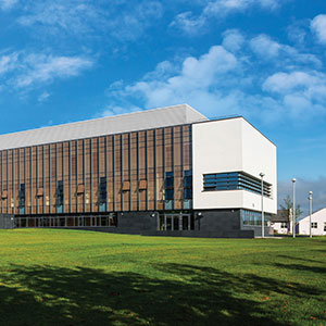
University of Galway has earned international recognition as a research-led university with a commitment to top quality teaching across a range of key areas of expertise.
-
Research & Innovation
Research & Innovation
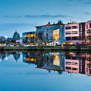
University of Galway’s vibrant research community take on some of the most pressing challenges of our times.
-
Business & Industry
Guiding Breakthrough Research at University of Galway
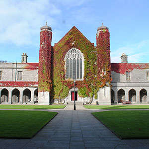
We explore and facilitate commercial opportunities for the research community at University of Galway, as well as facilitating industry partnership.
-
Alumni & Friends
Alumni & Friends
There are 128,000 University of Galway alumni worldwide. Stay connected to your alumni community! Join our social networks and update your details online.
-
Community Engagement
Community Engagement
At University of Galway, we believe that the best learning takes place when you apply what you learn in a real world context. That's why many of our courses include work placements or community projects.
 Accessibility & Language
The MAREE Project
Multiperiod Archaeological Research: Excavation & Exploration
The Project
The Maree Project, directed by Michelle Comber and Noel McCarthy of University of Galway, aims to examine landscape use and change through time on the Maree peninsula, south Co. Galway. Well defined geographically, this landscape is rich in archaeological remains dating from the Mesolithic onwards. Its limestone geology and alkaline soils are conducive to good preservation of archaeological material while also providing an attractive economic base for farming communities throughout the past. Ease of access due to its maritime location and position at the western end of the Eiscir Riada/Slí Mór also added to its popularity. This project employs various methods of primary investigation – non-invasive survey, fieldwalking and material collection, and archaeological excavation – alongside traditional academic research methodologies. Partners, supporters, and funders include the National Monuments Service, Royal Irish Academy, the Discovery Programme/Centre for Archaeology and Innovation, other European universities (via the EU’s ENLIGHT programme), Ancient Odysseys, and the local community via a community volunteer group. The project engages third- and fourth-level researchers and students from Ireland and overseas, works with the local community, and hopes to advance understanding of how people in the past interacted with the world around them. All of this facilitates sustainable community development, continuing the theme of people interacting with their immediate environment.
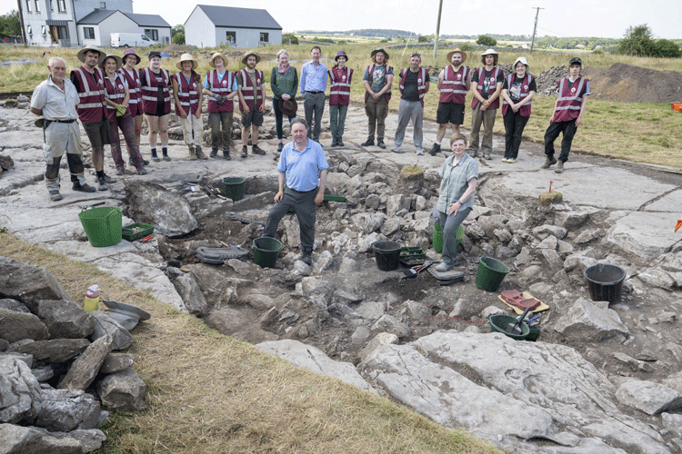 University of Galway President, Professor David Burn, Registrar, Professor Becky Whay, and the Prospecthill court tomb/portal tomb excavation team, with MAREE Project Directors, Dr Noel McCarthy and Dr Michelle Comber in the foreground (Photo copyright: Andrew Downes)
Maree
The Maree peninsula is a small peninsula (maximum 9km east-west, 3.2km north-south) in the barony of Dunkellin, Oranmore parish, in the diocese of Kilmacduagh. It projects westwards into Galway Bay, just south of Galway city. With the sea on three sides, its inland border is defined by the roughly north-south Ballynamanagh River, with only a narrow (500 – 600m) neck of dryland (the aptly named townland of Seafield) between it and the sea on the northern edge of the peninsula.
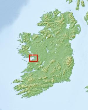
Referred to in the past as Mearuidhe, Meadhraighe, Medrigia and now Maree, the peninsula is mentioned in a small number of early Irish texts. It is roughly co-extensive with the original parish of Ballinacourty, the boundaries of which may have reflected those of the ancient territory, although the area is now part of the larger Oranmore parish. Maree is mentioned in both fictional and factual sources, clearly reflecting the importance of the region in antiquity. Despite the farmed nature of the landscape, and the relatively small size of the area, a multitude of archaeological sites, from the Mesolithic to late Medieval, are recorded.
Aim
The aim of the project is to explore landscape use and change over time.
(Using a case study located mid-way along the Wild Atlantic Way)
Why here?
- This study area is well-defined geographically and clearly has preserved archaeological evidence from every era of the past.
- It is also a landscape that provides a potentially useful mix of agricultural and marine elements, both of high economic value in the past.
- Existence of some prior archaeological knowledge.
- Ideal landscape to provide third-level training.
- The potential to compare results with Archaeology, University of Galway previous landscape work across the bay to the south, in the Burren (M. Comber, C. Jones, S. Bergh etc.).
- Builds on Discovery Programme recent expertise in coastal studies.
- Strong local community with an interest in contributing.
- Potential community benefits.
- Adding to ‘academic’ knowledge.
Survey
The Discovery Programme has established expertise in various forms of survey (e.g. LiDAR and 3d survey), expertise that complements Archaeology’s own geophysical capabilities. Additional drone-based survey (e.g. thermal imaging) is provided by Paul Naessens/ACRES.
Coastal study
With this case study comprising an Atlantic peninsula, the sea and coastline are integral to settlement here, past and present. Understanding the nature of same throughout the past will greatly inform our interpretation of the landscape and its changes through time. The Discovery Programme, building on its recent work with the CHERISH project, is currently undertaking this study.
Excavation
The excavation of sites in this landscape is a strong component of the project. Working with the National Monuments Service and National Museum of Ireland, excavations are directed by M. Comber and N. McCarthy, and operate as training excavation for Irish and international university students, in an effort to encourage more graduates into archaeology careers.
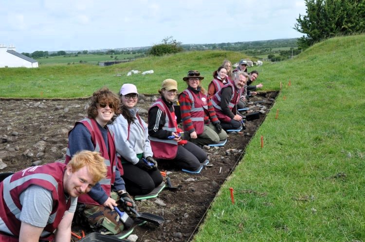
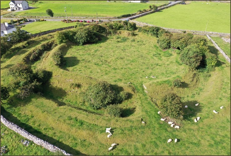
An initial excavation occurred at Rathgurreen ringfort in 2025 – a return to test the results of initial excavations in the 1940s. That excavation suggested that the site began life as a large-diameter univallate enclosure. Not too long after that, it was transformed by creating an additional bank and ditch inside the earlier, reducing the internal space but greatly enhancing the impressive nature of the settlement. Finds included a Roman oil lamp of 4th/5th-century AD date, and the single radiocarbon date for phase 1 activity has a 2-sigma range of 374 – 601 AD. The seemingly early date for the construction of this site is intriguing, as is its unusual transformation. However, work commenced in 2025 has now produced features of both Late Bronze Age and Iron Age date at the site – in addition to the Early Medieval ringfort phase. The story becomes even more intriguing as work progresses!
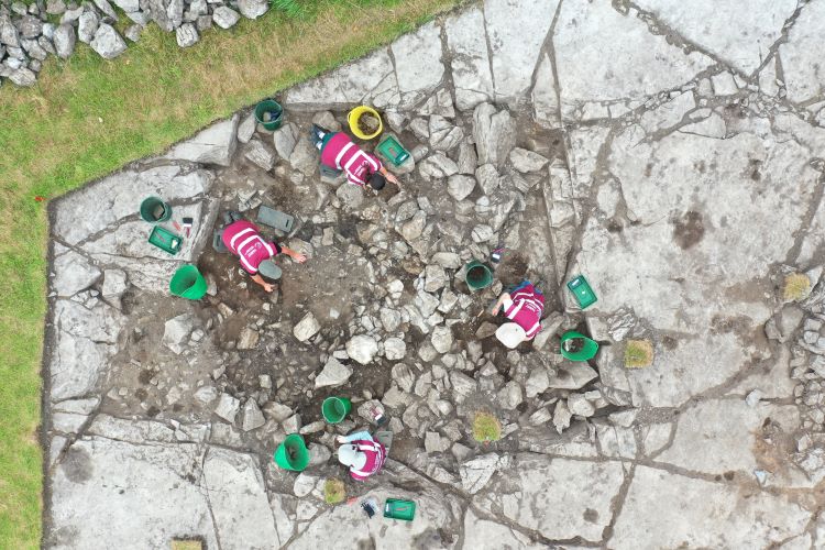
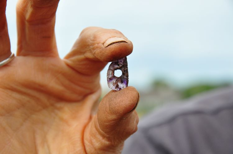
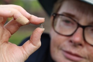
Excavation in 2026 focused on the site of a Neolithic court tomb, thought completely destroyed in the 1960s. The footprint of that tomb, however, was uncovered during excavation, while another previously unidentified portal tomb was discovered immediately adjacent the court tomb. Constructed at the bottom of a 1.1m-deep quarried pit, the original contents of that tomb appear very well contained and preserved. Work continues!
.jpg)